Sabino Canyon Recreation Area is part of the US National Park system, but it is governed by the Forest Service. The area is contiguous with several other parks and forests, making fairly long hikes possible. Sabino Canyon has the correct precipitation / elevation combination to support Saguaro cactus, but hikes that go higher into the Santa Catalina mountains pass into distinctly different microclimates and vegetation.

The park visitor center has excellent staff who can recommend a variety of trails. Many park visitors simply take the tram (additional fee) that goes 4 miles into the canyon and has excellent views. Hikers can use several trailheads easily reachable on foot, or use the tram to shorten the trip to more distant trails. Once you get off the tram, hold on to your ticket and you can get back on later for the return ride.
My favorite hikes include:
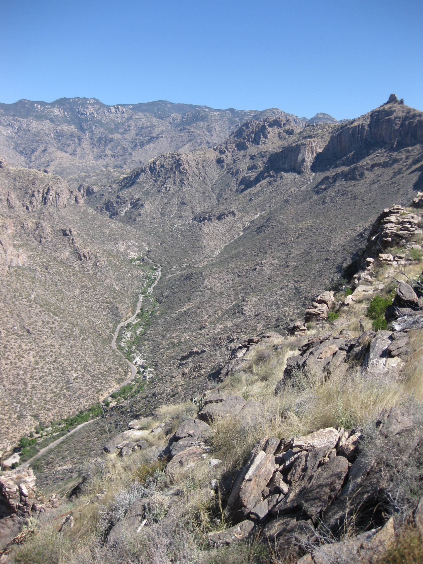
Phoneline Trail (moderate to difficult). Follows a ledge about halfway up the canyon side. If you take the tram to the top and walk down the Phoneline to the visitor center, it’s moderate. Up is more difficult, and then you also need to get back.
Blackett’s Ridge (difficult) Only a few miles long, but very steep. Spectacular views, and the steepness keeps the crowds away.
Esperero Trail to “Cardiac Gap” (difficult) Starts slowly, walking through the sandy floor of a canyon. Suddenly, there’s a large hill with many switchbacks ending at a pass. Views of Tucson and of the Esperero Canyon on the other side.
Esperero Trail to “Bridalveil Falls” (difficult). Go considerably past Cardiac Gap. The trail is difficult to find from the Gap; you need to go to the right. This part of the trail takes you out of the dry cactus landscapes you’ve been seeing, into grasslands and eventually forest. I only did this once and the falls had very little water. However, the trail itself is fascinating for the way the landscape changes. Past Cardiac Gap, you will see almost nobody.